Topographical
Advertisement
Geodata Germany v.22.03
The database contain geodata of the Federal Republic of Germany with geo referenced towns, municipalities, town quarters, administrative units, postal codes, telephone preselections, nature areas, landscapes, climatic zones for proximity searches ec.
Geodaten Deutschland v.18.01
The database contain geodata of the Federal Republic of Germany with geo referenced towns, municipalities, town quarters, administrative units, postal codes, telephone preselections, nature areas, landscapes, climatic zones for proximity searches ec.
Advertisement
Wlandscape Build v.461
Wlandscape is a software-tool to collect and visualize informations of wireless networks.
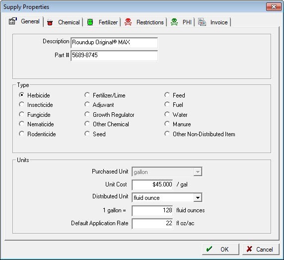
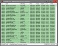
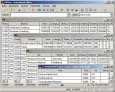
Farm Works Office v.2013.01.533
Farm WorksOao Mapping software provides a mapping and field record keeping solution that is compatible with a wide range of precision farming devices.
TOPOWIN English v.13.00
TOPOWIN is a state-wide register of the German topographic cartographies and of localities with geo references in different coordinate systems. It also is a topographic information system.
TopoDraw v.2.0.3
TopoDraw is an application that allows you to draw new waypoints and tracks directly onto a 2D map simply by pointing and clicking.